
From collection Person

Related Items
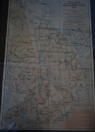
Path Map of MDI, 1906
A path map of the eastern half of MDI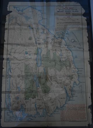
Path Map of MDI, 1911
A path map of the easter half of MDI.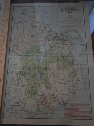
Path Map of MDI, 1937
A path map of the eastern half of MDI.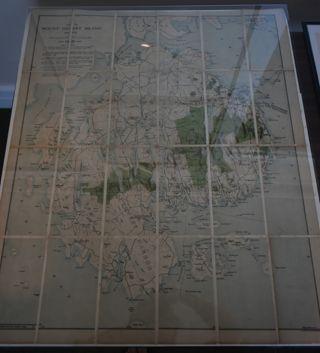
Map of MDI, 1921
Map of MDI and the Schoodic peninsula with Acadia National Park highlighted on it in green.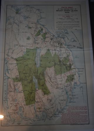
Path Map of MDI, 1922
A path map of the eastern half of MDI.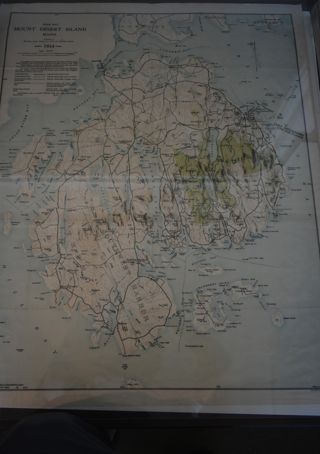
Path Map of MDI. 1934
A path map of the eastern half of MDI.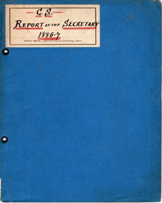
C. S. | Report of the Secretary | 1886-7
Title page: Champlain Society | Report of the Secretary. | For 1886.7 | Cambridge | 1887 6 pages, one side only Includes a 2 page catalog of Champlain Society Library. Nomenclature: Log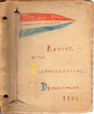
Champlain Society | Report of the Ichthyological. | Department. | 1880.
Title page: Champlain Society | 1880. | Report of the Ichthyological Department. | Cambridge | 1880. 17 hand numbered pages Nomenclature: Log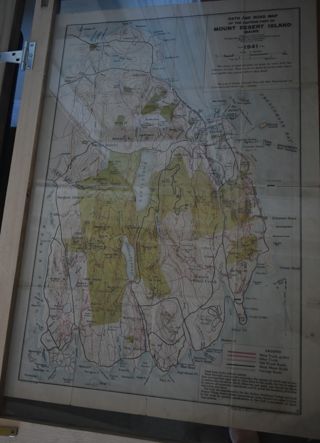
Path Map of MDI, 1941
A path map of the eastern half of MDI.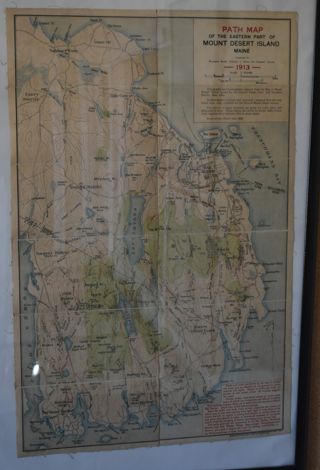

