
From collection Person

Related Items

Map of Mount Desert Island, Maine
Map with contour lines indicating elevations, islands and areas names; bodies also named. Map is cut into sections measuring 4" X 8" and then mounted on buckram (?); overall dimension is 32" X 24". Nomenclature: Map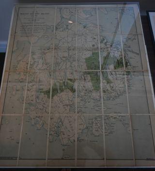
Map of MDI, 1921
Map of MDI and the Schoodic peninsula with Acadia National Park highlighted on it in green.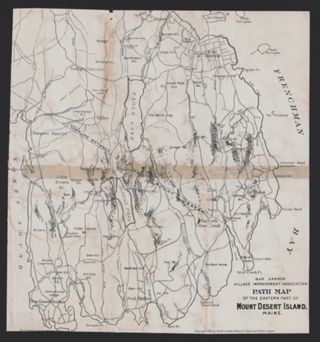
Bar Harbor Village Improvement Association Path Map of Mount Desert Island, 1896
A map showing walking paths on the eastern half of Mount Desert Island. The map is adapted from an 1896 map of Mount Desert Island compiled by Waldron Bates, Edward L. Rand, and Herbert Jaques.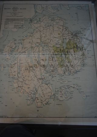
Path Map of MDI. 1934
A path map of the eastern half of MDI.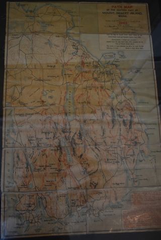
Path Map
A path map of the eastern half of MDI.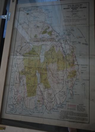
Path Map of MDI, 1941
A path map of the eastern half of MDI.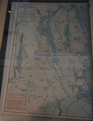
Path Map of MDI, 1932
A map of the paths on the eastern half of MDI.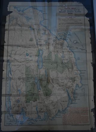
Path Map of MDI, 1911
A path map of the easter half of MDI.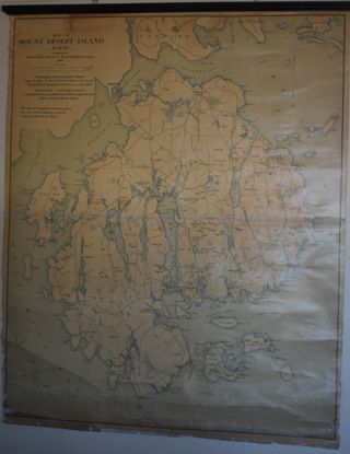
Map of MDI,1896
Map of MDI and the surrounding islands.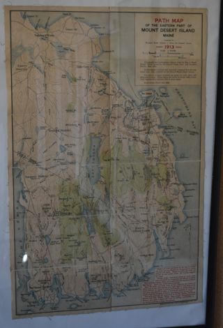

