
From collection Place
State of Maine created from the Commonwealth of Massachusetts' District of Maine. The geographic center, or that point on which a surface of uniform thickness would balance, for the state is located in Piscataquis County, 18 mi N of Dever.
Related Items
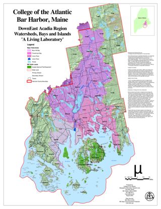
Downeast Acadia Region Watersheds, Islands, and Bays
A Living Laboratory. This project is in ESRI GIS Story Map format.
State Senate certification
A certification that the named person is a member of the state senate of Maine's 100th legislature.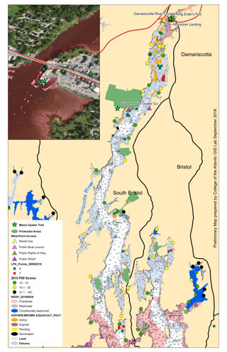
Maine Oyster Trail Pilot Project, Damariscotta River
A Map showing land use, waterfront access, and other factors important to Oyster aquiculture. This project is in ESRI GIS Story Map format.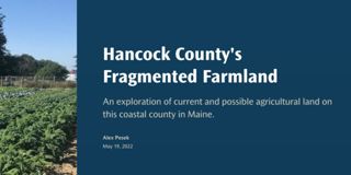
Hancock County's Fragmented Farmland
An exploration of current and possible agricultural land on this coastal county in Maine. This project is in ESRI GIS Story Map format.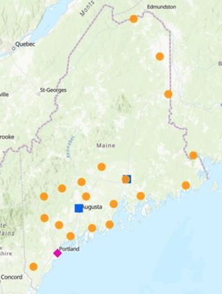
Abortion Access in MaineEva McMillan
Abortion accessibility in Maine is unique because of the state's size and rural population. With long drive times presenting a barrier for many individuals, expanding access to later abortion care should be a priority. This project is in E…
Where Do Gulls Go?
Herring gulls are found around the world, not only by the sea, despite often being called "seagulls". There is debate over the herring gull's taxonomic status. American ornithologists lump herring gulls in North America and Europe, while E…
Whales and Climate Change
The Gulf of Maine is a large body of water in the Northern Atlantic, home to extraordinary marine wildlife. The Gulf of Maine borders on three US states, Maine, New Hampshire, Massachusetts, and two Canadian provinces: New Brunswick and No…
Aroostook Renewable Gateway GIS
A Geographic Information System designed to enable the public to make their own maps of interest along the proposed Gateway corridor. This project is in ESRI GIS Story Map format.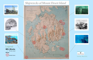
Shipwrecks of Mount Desert Island
A map showing shipwrecks around MDI identifying where the wrecks are and pictures of them. This project is in ESRI GIS Story Map format.

