
From collection Person List

Related Items

Swans Island Quadrangle Topographical Map, 1943
Topographical map of the Swan's Island Quadrangle in Hancock County, ME produced by the United States Department of the Interior Geological Survey. Depicts the elevations of the southern part of Mount Desert Island, Cranberry Isles, Long I…
Swans Island Quadrangle Topographical Map, 1945
Topographical map of the Swan's Island Quadrangle in Hancock County, ME produced by the United States Department of the Interior Geological Survey. Depicts the elevations of the southern part of Mount Desert Island, Cranberry Isles, Long I…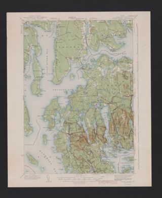

