
From collection Person

Related Items
Path Map of MDI. 1934
A path map of the eastern half of MDI.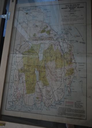
Path Map of MDI, 1941
A path map of the eastern half of MDI.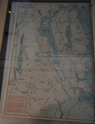
Path Map of MDI, 1932
A map of the paths on the eastern half of MDI.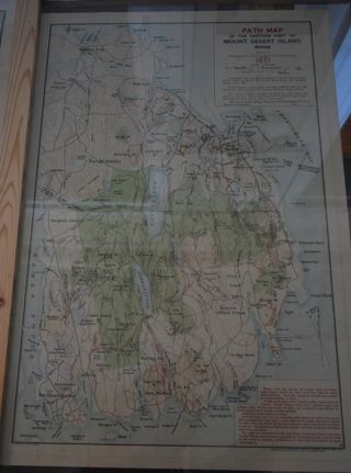
Path Map of MDI, 1937
A path map of the eastern half of MDI.
Path Map
A path map of the eastern half of MDI.
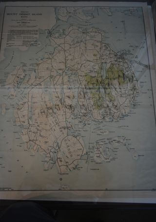
Map of Mount Desert Island, Maine
Map with contour lines indicating elevations, islands and areas names; bodies also named. Map is cut into sections measuring 4" X 8" and then mounted on buckram (?); overall dimension is 32" X 24". Nomenclature: Map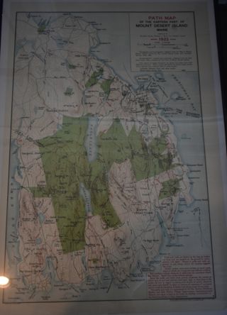
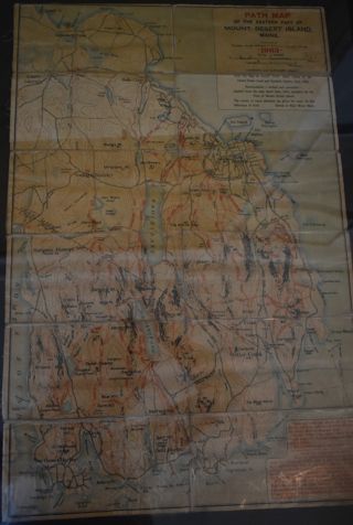
Path Map of MDI, 1922
A path map of the eastern half of MDI.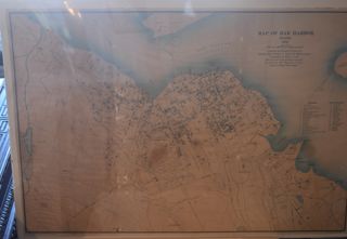
Map of Bar Harbor, 1896
A map of the town of Bar Harbor.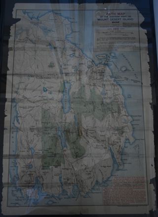

